K0
K1
K2
K3
K4
K5
K6
K7
K8
K9
KA
KB
KC
KD
KE
KF
KG
KH
KI
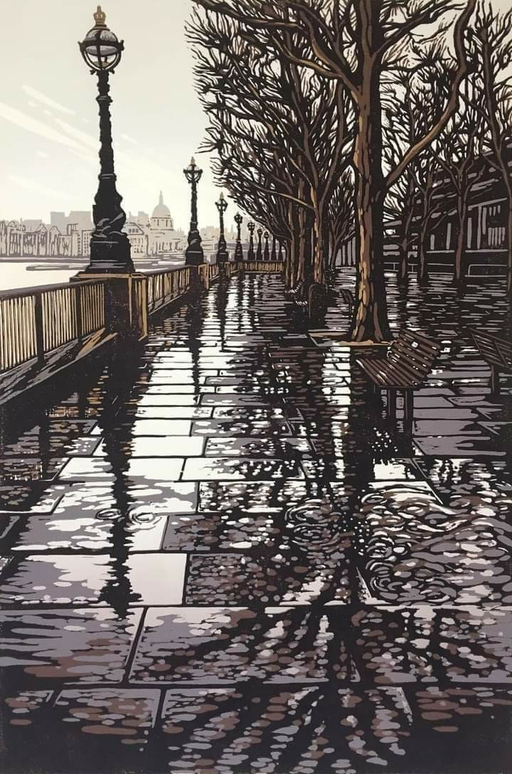
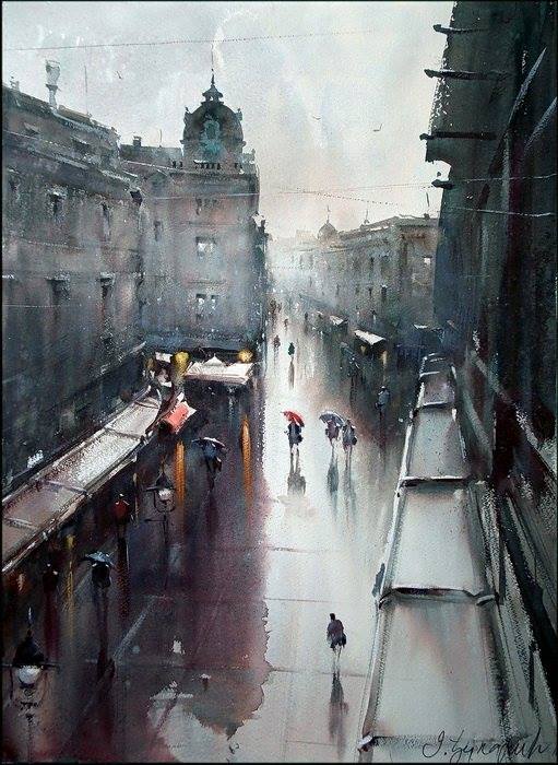
Alexandra Buckle (British, born 1984) “Southbank Puddles”, 2017.
KJ
KK

KL
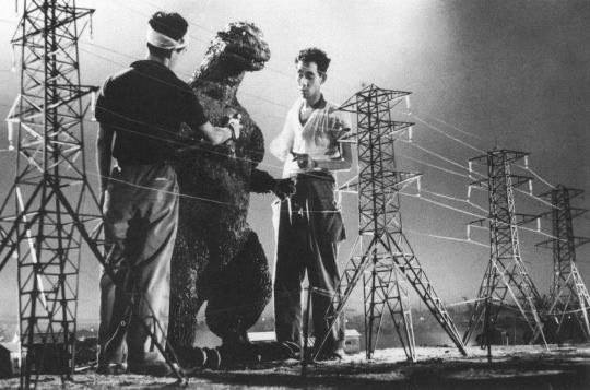
A drunk Godzilla is refused entry to Kyoto, 1954.
KM
KN
View on Knez, 54×74 cm Dusan Djukaric
KO
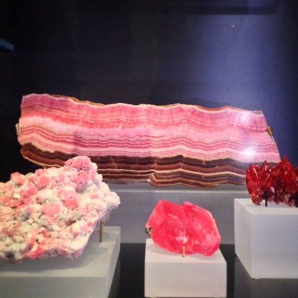
This is a mineral called rhodochrosite. It comes in many forms including bacon.
KP
The Warriors (1979) or John Wick 4 (2023) — We report, you decide.
KQ
KR
KS
KT
KU
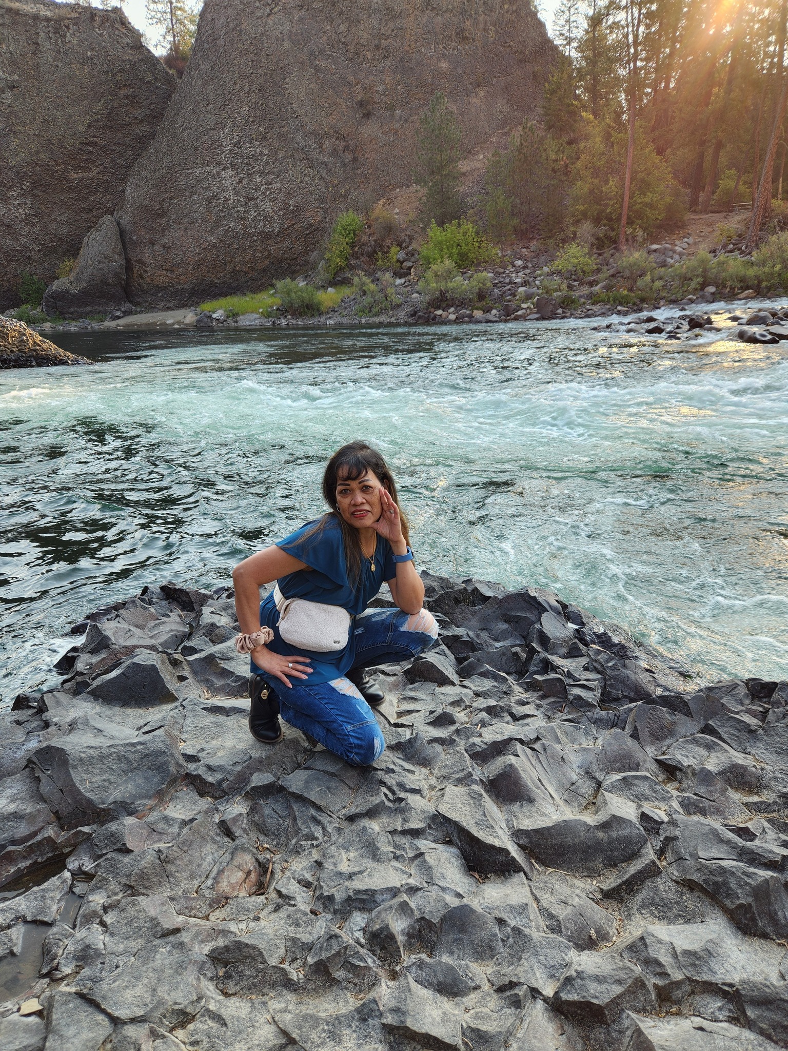
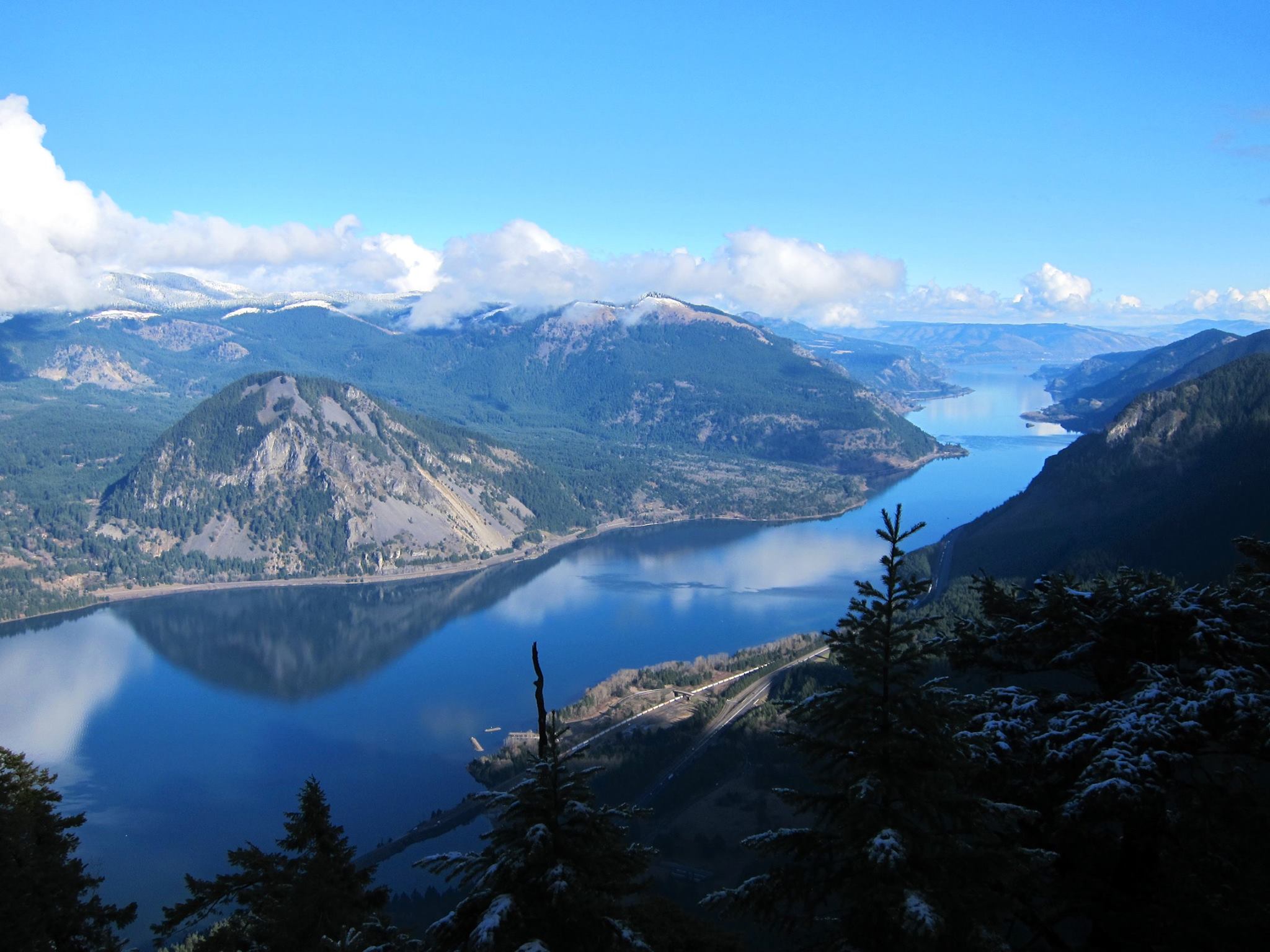
My back yard growing up, with Washington on the left and Oregon on the right, although both states are pretty far to the left and I wouldn’t have it any other way.
KV
KW
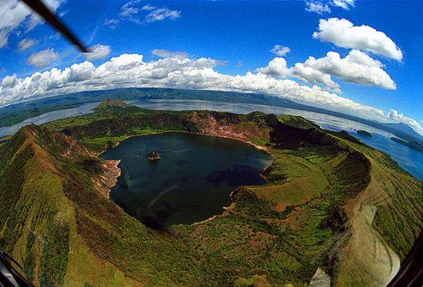
Vulcan Point in the Philippines is an island within a lake on an island within a lake on an island.
KX

KY
KZ